Welcome guest, is this your first visit? Click the "Create Account" button now to join.
Page 2 of 4 FirstFirst 1234 LastLast
Results 11 to 20 of 38

Hybrid View

  1. #1
    Master spijun's Avatar
    Join Date
    Oct 2008
    Location
    SA
    Posts
    517
    Rep Power
    424

    Default

    Quote Originally Posted by pietu View Post
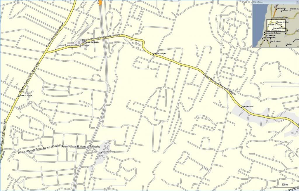
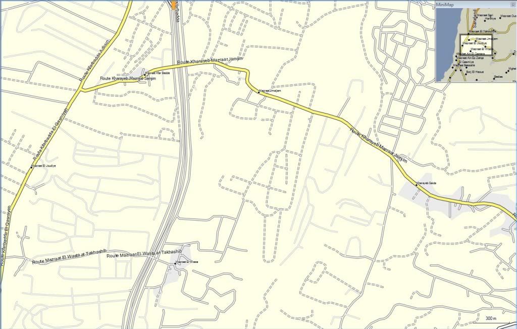
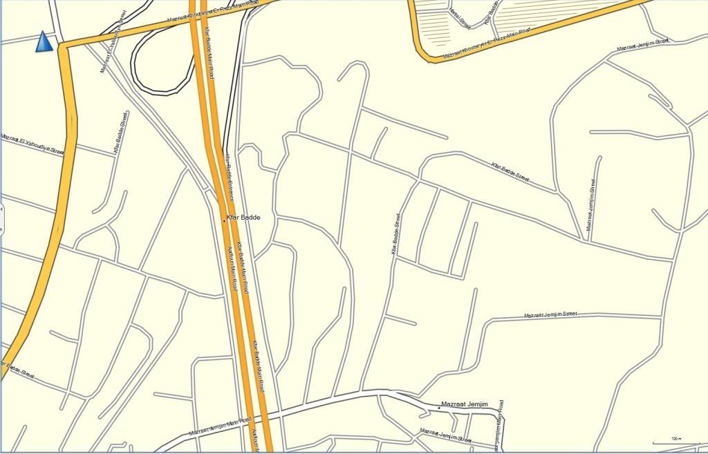
    one reason is Lebanon has not given any more promises to use the satelitte images on their land.
    even google maps not show that.......
    Sorry but I do not agree with you for Google maps. Although this recording 5 years old

    Code:
    Please Login or Register to see the links
    Last edited by Pungente; 21st February 2014 at 04:51 AM. Reason: code official link
    Enjoy life

  2.    Advertissements


  3. #2
    pietu
    Guest

    Default

    Quote Originally Posted by spijun View Post
    Sorry but I do not agree with you for Google maps. Although this recording 5 years old
    up to you, satelite pictures is almost same day.... What do think it mean ?
    Last edited by pietu; 21st February 2014 at 12:17 AM.

  4. #3
    Master spijun's Avatar
    Join Date
    Oct 2008
    Location
    SA
    Posts
    517
    Rep Power
    424

    Default

    Quote Originally Posted by pietu View Post
    up to you, satelite pictures is almost same day.... What do think it mean ?
    Because in this footage access road is not completed
    This was done 4 years ago

    Code:
    Please Login or Register to see the links
    PS: If you need proof, I can take pictures tomorrow and send you
    Last edited by spijun; 21st February 2014 at 12:46 AM.
    Enjoy life

  5. #4
    pietu
    Guest

    Default

    Quote Originally Posted by spijun View Post
    Because in this footage access road is not completed
    This was done 4 years ago


    PS: If you need proof, I can take pictures tomorrow and send you
    We just come back to post #8 right ?
    This is what i tell you no new satelite pictures from this area released, mean no new maps from this area.

  6. #5
    Junior Member
    Join Date
    Feb 2014
    Location
    United Arab Emirates
    Age
    41
    Posts
    5
    Rep Power
    0

    Default

    I have "City Navigator Middle East & Northern Africa NT 2014.30" on my nuvi 3490, and it is working very well, search very fast.
    Once I replaced gmap3d.img, gmapdem.img, gmapprom.img, *.JVC, *.G2S by the new files her "City Navigator Middle East & Northern Africa NT 2014.40", it became very slow in search!
    Am I doing something wrong, or missing something?

    Please help.

  7. #6
    Important User City Navigator Middle East & Northern Africa NT 2014.40
    City Navigator Middle East & Northern Africa NT 2014.40
    Roger's Avatar
    Join Date
    Jul 2011
    Location
    Browsing ...
    Posts
    885
    Rep Power
    1032

    Default

    @ tariq......

    34xx series use the files SID, no the *.G2S (file for 37xx series and 1695 ).
    Wait patiently for others additional files

  8. #7
    Junior Member
    Join Date
    Feb 2014
    Location
    United Arab Emirates
    Age
    41
    Posts
    5
    Rep Power
    0

    Default

    Quote Originally Posted by Roger View Post
    @ tariq......

    34xx series use the files SID, no the *.G2S (file for 37xx series and 1695 ).
    Wait patiently for others additional files
    @Roger

    Pleased to know that, will wait.
    So, it is the missed SID file caused the slowness of search!
    I remember in previous perfect update 2014.30 i had SID and DB files in additional to the files here in 2014.40 update!
    Thanks for your reply
    Last edited by tariqalardah; 21st February 2014 at 11:28 AM.

  9. #8
    Important User City Navigator Middle East & Northern Africa NT 2014.40
    City Navigator Middle East & Northern Africa NT 2014.40
    Roger's Avatar
    Join Date
    Jul 2011
    Location
    Browsing ...
    Posts
    885
    Rep Power
    1032

    Default

    Quote Originally Posted by tariqalardah View Post
    I remember in previous perfect update 2014.30 i had SID and DB files in additional to the files here in 2014.40 update!
    Sorry...but no SID from Noeman. Also read this [Only registered and activated users can see links. ]

    However, we expect that someone will post these files

  10. #9
    VIP Master mr-bond's Avatar
    Join Date
    Apr 2009
    Location
    World
    Posts
    17
    Rep Power
    0

    Default

    hi what DEM Image for and is it working on sd my nuvi 35xx and comes with the official Map of europe

  11. #10
    Important User City Navigator Middle East & Northern Africa NT 2014.40
    City Navigator Middle East & Northern Africa NT 2014.40City Navigator Middle East & Northern Africa NT 2014.40City Navigator Middle East & Northern Africa NT 2014.40City Navigator Middle East & Northern Africa NT 2014.40City Navigator Middle East & Northern Africa NT 2014.40City Navigator Middle East & Northern Africa NT 2014.40City Navigator Middle East & Northern Africa NT 2014.40
    catymag's Avatar
    Join Date
    Nov 2007
    Location
    light side
    Posts
    15,420
    Rep Power
    5121

    Default

    Quote Originally Posted by mr-bond View Post
    hi what DEM Image for
    Look at this thread
    [Only registered and activated users can see links. ]


    Spoiler: D3410110A.sid
    [Only registered and activated users can see links. ]


    Spoiler: D3408110A.db
    [Only registered and activated users can see links. ]

    l9ebnsm
    You have to navigate to get to the good.

    Galaxy S5 Kitkat 4.4.2 / Nuvi1200->1250 / Nuvi3790T->34xx / Nuvi 2200 / Nuvi 66 / Oregon 600


Tags for this Thread

Bookmarks

Posting Permissions

  • You may not post new threads
  • You may not post replies
  • You may not post attachments
  • You may not edit your posts
  •