South_America.dem
for wince and android
New update: 29.07.2015
Location: igo/content/dem
Welcome guest, is this your first visit? Click the "Create Account" button now to join.
Results 1 to 10 of 80
Thread: (DEM) Digital Elevation Model
-
27th January 2015, 11:41 PM #1
 (DEM) Digital Elevation Model
(DEM) Digital Elevation Model File
iGO8 / Amigo / Primo / Nextgen / Becker/

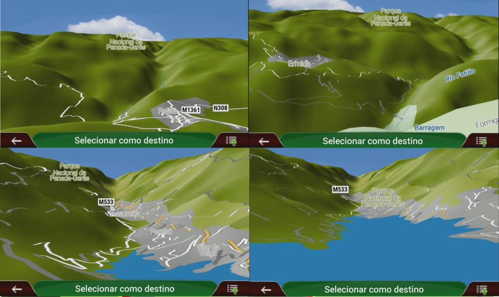
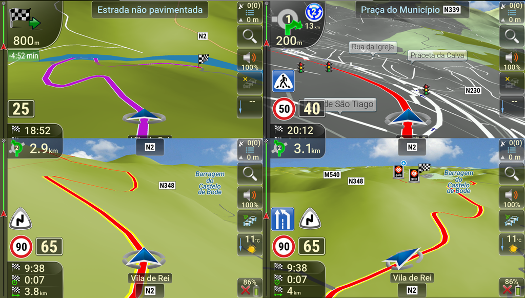
Digital Elevation Model (DEM) is a digital model or 3D representation of a terrain's surface represents the terrain surface with mountains, valleys and even smaller height variations like hills. DEM enhances the life-like visualisation of reality. Created from terrain elevation data. It helps the driver by confirming him visually the physical terrain, and he can immediately understand the surroundings.
Spoiler: IMG
Africa / America / Asia / Europe / Oceania
iGO / content / dem / Africa_83_CGIAR_081013.dem
File extension: DEM
How to make:
Spoiler: info
Listing of DEM:
Spoiler: List
The main suppliers:
[Only registered and activated users can see links. ]
[Only registered and activated users can see links. ]
[Only registered and activated users can see links. ]
TOMTOM-Tele Atlas
[Only registered and activated users can see links. ]
The latest version for europe
Full_Europe_CGIAR_Premium_2006.06_170124
This post requires you to click the "LIKE this post" button and hit F5 to read this content.
or
This post requires you to click the "LIKE this post" button and hit F5 to read this content.
-
29th July 2015, 07:46 PM #2Master


- Join Date
- Nov 2012
- Location
- World
- Posts
- 280
- Rep Power
- 1025
 (DEM) Digital Elevation Model
-
13th August 2015, 10:55 PM #3
-
1st September 2015, 08:03 AM #4Member


- Join Date
- Jul 2015
- Location
- Portugal
- Posts
- 20
- Rep Power
- 11

Hello.
I've put the DEM files for Europe CGIAR in Igo Primo NextGen and it seems to have accepted it and i can see some elevation shadows from mountains; however when on road, even going thru mountains, everything seems to be quite flat.
Is there anyway to adjust height map on navigation? Some Sys.txt entry?
Thank you in advance!
-
1st September 2015, 02:17 PM #5

Try this:
[map]
3d_buildings=1
3d_landmarks=1
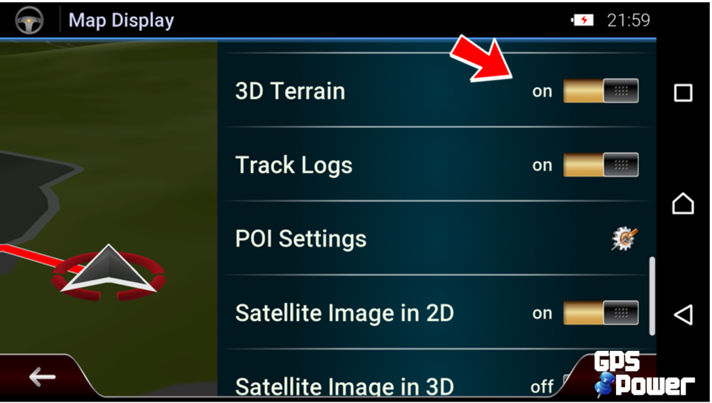
3d_dem=1; 3D terrain
3d_dem_detail=2; detail of 3D terrain (0 = none, 1 = low, 2 = medium, 3 = high)Last edited by Boki; 3rd January 2019 at 09:34 AM.
 gone fishing...
-
7th December 2015, 11:53 PM #6

Africa.dem
SRTM data V3, 2006, International Centre for Tropical Agriculture (CIAT) [Only registered and activated users can see links. ]
If the problem is space and machine resources use this.
South Africa.dem
[cgiar]DEM_SouthernAfrica-HiRes_CGIAR_0606
Hole-filled seamless SRTM data V3, 2006, International Centre for Tropical Agriculture (CIAT)
Available from [Only registered and activated users can see links. ]
~SAF|2006.06||Premium|
It is recommended if you prefer a more realistic driving.
Read with [Only registered and activated users can see links. ]
.gif)
-
28th December 2015, 10:53 AM #7

This post requires you to click the "LIKE this post" button and hit F5 to read this content.
Total files size: 4.02GB
Tnx to @SNB

-
2nd February 2016, 01:44 AM #8
-
14th February 2016, 12:39 AM #9Junior Member


- Join Date
- Feb 2016
- Location
- Melbourne
- Posts
- 1
- Rep Power
- 0

I have IGO Primo 2.4 installed and just put in the Australian dem file and set Relief to on, but in the map all I get is very faint contour colours? I noticed when I press the relief buttons it flashes the green colour on the map!
Can someone tell me how to fix this.
ThanksClive
-
14th February 2016, 01:45 AM #10


 Likes:


 Reply With Quote


Bookmarks