
 Likes:

 Reply With Quote
Hello, there is a French forum where you can download free maps for Ozi, and it even includes a tool to create them (which is easier to use than MOBAC).
It has already been discussed on Gpspower.
Code:Please Login or Register to see the links
Welcome guest, is this your first visit? Click the "Create Account" button now to join.


Results 11 to 13 of 13
-
5th October 2026, 01:07 AM #11Members Administrator


- Join Date
- Nov 2011
- Location
- Western Australia
- Age
- 74
- Posts
- 12,536
- Rep Power
- 2049

That is interesting to find Boki.
To use a map that is not downloadable is to "copy as image" and save it. Can't just copy & paste.
Then use "load and calibrate map".Can't see a link/attachment? Don't post asking why. Just 'Like' the post & hit F5:
THE LIKE BUTTON IS NOW IN THE BOTTOM LEFT-hand CORNER - If you can't see the like button, then you're an Inactive Member
Posts serving no purpose like thanks or to ask about links go to [Only registered and activated users can see links. ] or are deleted, it's GPS Power policy.

-
Yesterday, 05:33 PM #12Junior Member
- Join Date
- Feb 2018
- Location
- France
- Posts
- 7
- Rep Power
- 0
Last edited by Boki; Yesterday at 09:57 PM. Reason: code
-
Today, 02:06 AM #13Members Administrator
- Join Date
- Nov 2011
- Location
- Western Australia
- Age
- 74
- Posts
- 12,536
- Rep Power
- 2049
For Australia and 50K, 100K, 250K + the larger scales go here they are GeoPDF.
If you want to create a large mosaic, you would have to crop and recalibrate them again.
The eastern state has more updated maps available. Doing 50K & 100K maps have no extra info than the 250K.
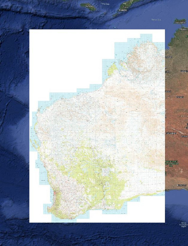
I have the Australia 250K and the WA maps from 2012 that I can use in QGIS, along with any other map I wish going all the way back to 1896 includes Topo and Geo.Code:Please Login or Register to see the links
Even Google Earth and generate various types of maps to ".mbtile" to run in Trilobite Solutions app, can also if needed can export to Oziexplorer.
As I go out to some isolated areas to prospect and need to know exactly where I am, and to make sure I am the right Mining Tennement.
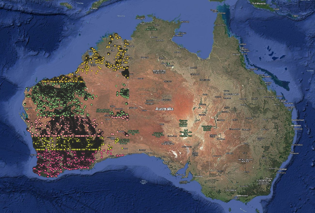
All those little dot and Drill Hole Assays. "5.6 million of them" I also have 10.8 million Soil Assay, these are my current project, and had to install SQL Server to get this information.
I like this sort of mapping
Spoiler: Big Map
Spoiler: Topo over GoogleCan't see a link/attachment? Don't post asking why. Just 'Like' the post & hit F5:
THE LIKE BUTTON IS NOW IN THE BOTTOM LEFT-hand CORNER - If you can't see the like button, then you're an Inactive Member
Posts serving no purpose like thanks or to ask about links go to [Only registered and activated users can see links. ] or are deleted, it's GPS Power policy.


Bookmarks