Can somebody upload a unlocked file please? The instructions to unlock are too complicated for non technical person like me
Welcome guest, is this your first visit? Click the "Create Account" button now to join.
Results 1 to 6 of 6
-
2nd August 2011, 06:03 PM #1
 cityXplorer Calcutta 2010.10 v.10.10
cityXplorer Calcutta

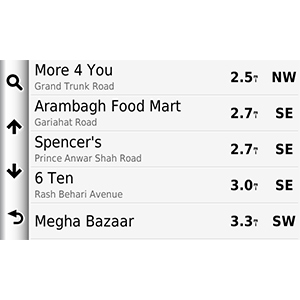
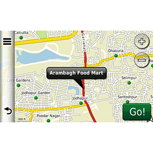
Includes detailed road maps and points of interest for Calcutta, India, with the ability to navigate using buses, tramway, metro and suburban rail systems (where available. Not all cities include all public transit types).
Features detailed coverage for the greater Calcutta area and surrounding cities.
*Coverage area map shows major roads, highways and points of interest only. Enhanced pedestrian navigation coverage varies within the area shown.
infos
Code:Please Login or Register to see the links
Version: 2010.10
Released: Mar, 2010
Part Number: 010-D0757-00
locked map
unlock with PID 2, FID 2085 with JM kg to enable EPM features
Code:Please Login or Register to see the links
CX Calcutta_2010_10.rar (2,4 MB)
[Only registered and activated users can see links. ]


more instructions here
[Only registered and activated users can see links. ]
You have to navigate to get to the good.
Galaxy S5 Kitkat 4.4.2 / Nuvi1200->1250 / Nuvi3790T->34xx / Nuvi 2200 / Nuvi 66 / Oregon 600
-
20th August 2011, 09:58 AM #2Junior Member


- Join Date
- Jun 2010
- Location
- zxczxcx
- Posts
- 4
- Rep Power
- 0

-
20th August 2011, 10:30 AM #3
-
20th August 2011, 01:45 PM #4
-
1st December 2011, 07:55 PM #5Member +


- Join Date
- May 2010
- Location
- USA
- Posts
- 37
- Rep Power
- 32

Does anyone have any of the other CityXplorers of other cities in India?
-
17th December 2011, 12:26 PM #6BallebarGuest


 Likes:


Bookmarks