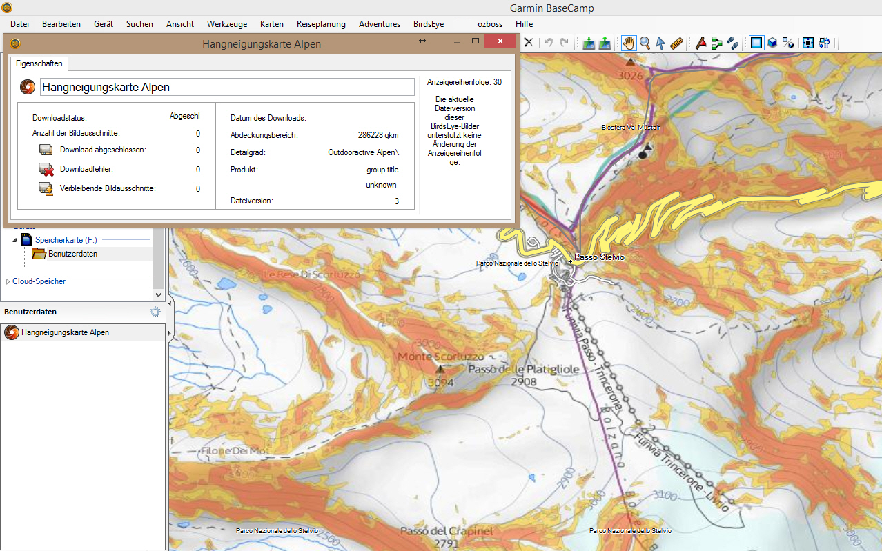
Garmin Hangneigungskarte (slope inclination map)
Requirements: for all Garmin Devices hows supported birdseye
Overview: From now on you can for all our winter trips already see on the map how steep the terrain is where your moves you! This feature is unique on the web and completely free of charge.
This so-called "slope Layer" shows you the first time coverage for almost the entire Alpine region, whether the site has more than 30 ° inclination. All surfaces which appear colored red on the map, exhibit 30 ° slope, or more.
More Info:
Download Instructions:Code:Please Login or Register to see the links
Spoiler: download
inside:
jnx file
copy file to birdseye folder on device
or an USB Stick to:\\Garmin\birdseye and BaseCamp see map
hoster
filefactory.com
share-online.biz
Welcome guest, is this your first visit? Click the "Create Account" button now to join.
Results 1 to 9 of 9
Threaded View
-
10th March 2015, 04:00 PM #1
 Garmin Hangneigungskarte (slope inclination map)


 Likes:


 Reply With Quote

Bookmarks