Welcome guest, is this your first visit? Click the "Create Account" button now to join.
 Likes: 0
Results 1 to 3 of 3
Thread: Topo Pirineos (Spain) v.3.0
-
5th January 2011, 10:24 PM #1
 Topo Pirineos (Spain) v.3.0
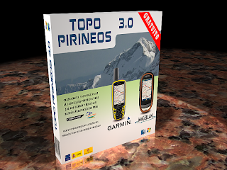
Topo Pirineos v.3.0

FEATURES
GPS vector map for Garmin and Magellan marks and a raster version for CompeGPS programs and Ozi Explorer, available for Windows and Mac operating systems, covering the whole of the Pyrenees.
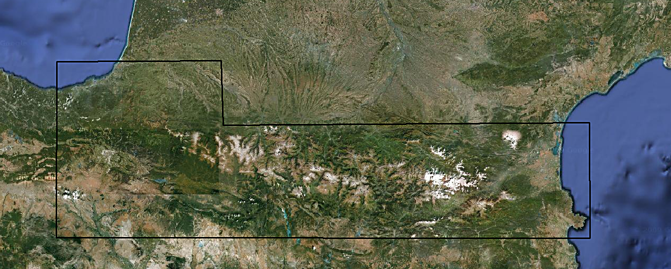
AREA COVERED BY THE MAP
The latitude of the map is comprised of the West from the 1:50,000 sheet No. 63 of IGN, at the height of Zarautz, and from the Cap de Creus on the east. It is not a perfect rectangle, going along the border: the latitude starts at the top of the 43 º 30 'by the West (Biarritz), and 42 º 53'por the east (north of Perpignan). The latitude at the bottom goes from 42 º 10'por West (Arnett) to 42 º South 10'por (Empuriabrava).
Free map

but visit developer's site for more infos and changelog
downloadCode:Please Login or Register to see the links
orCode:Please Login or Register to see the links
[Only registered and activated users can see links. ]
You have to navigate to get to the good.
Galaxy S5 Kitkat 4.4.2 / Nuvi1200->1250 / Nuvi3790T->34xx / Nuvi 2200 / Nuvi 66 / Oregon 600
-
18th January 2011, 05:28 PM #2


You have to navigate to get to the good.
Galaxy S5 Kitkat 4.4.2 / Nuvi1200->1250 / Nuvi3790T->34xx / Nuvi 2200 / Nuvi 66 / Oregon 600
-
7th July 2011, 03:25 PM #3


Bookmarks