Hi. Do you know which parts are NZ only. Thanks.
Welcome guest, is this your first visit? Click the "Create Account" button now to join.
Results 1 to 10 of 97
-
20th September 2010, 11:30 PM #1
 Garmin Topo Australia & New Zealand up to V3.01
Garmin Topo Australia & New Zealand V3

Venture On
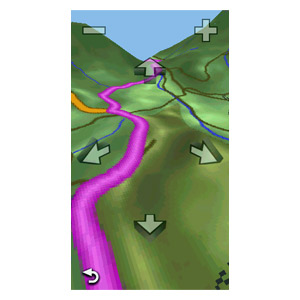
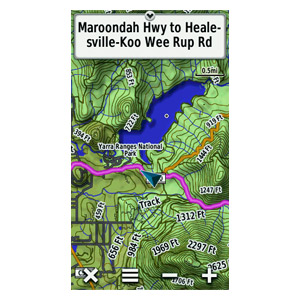
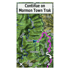
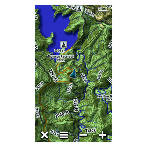
Get enhanced detail on your Garmin device, whether you're on a 4WD track in the outback or a main boulevard in the city. TOPO Australia & New Zealand provides a wide array of topographic information from terrain contours, elevations and summits to coverage of perennial and intermittent lakes, rivers and streams. It features a searchable database that includes urban, rural and outback points of interest and also has routable road content to give you turn-by-turn directions to your destination.
•Includes topographic and street maps for Australia and New Zealand.
•Provides terrain contours at 20 m (65 ft) intervals, approximating 1:100K maps.
•Contains tracks, outback trails, 4WD destinations, perennial and seasonal lakes, rivers and streams.
•Topographic terrain contours and summit points provide a detailed lay of the land.
•Provides searchable points of interest in urban, rural and outback areas, including lodging, restaurants, camping locations, homesteads, caravan parks, shopping and more.
•Includes famous outback routes, such as Birdsville, Strezelecki, Oodnadatta, Canning Stock and more.
•Routable road content provided by NAVTEQ, and additional content provided by HEMA and LINZ.
•Includes coverage of national, state and local parks, plus forest and reserve areas.
•Provides elevation profile on compatible Garmin devices so you can estimate terrain difficulty.
more infos
Locked IMGCode:Please Login or Register to see the links
Family id: 2262 Pid: 1
big thanks to hulio
reuploading:
13 rared parts on Zippyshare -
unpacked size 2.878.013.440 bytes
[hide][Only registered and activated users can see links. ]
[Only registered and activated users can see links. ]
[Only registered and activated users can see links. ]
[Only registered and activated users can see links. ]
[Only registered and activated users can see links. ]
[Only registered and activated users can see links. ]
[Only registered and activated users can see links. ]
[Only registered and activated users can see links. ]
[Only registered and activated users can see links. ]
[Only registered and activated users can see links. ]
[Only registered and activated users can see links. ]
[Only registered and activated users can see links. ]
[Only registered and activated users can see links. ][/hide]
mirrors of some temporarely broken links
[hide]
[Only registered and activated users can see links. ]
[Only registered and activated users can see links. ][/hide]


torrent file in post n54
New version 3.01 in post 80 , thanks pietuLast edited by catymag; 29th October 2012 at 03:01 PM. Reason: info about vers. 3.1

You have to navigate to get to the good.
Galaxy S5 Kitkat 4.4.2 / Nuvi1200->1250 / Nuvi3790T->34xx / Nuvi 2200 / Nuvi 66 / Oregon 600
-
24th September 2010, 06:18 AM #2AmerikiwiGuest

-
24th September 2010, 06:45 AM #3aekhongGuest
-
25th September 2010, 02:33 AM #4BallebarGuest

Topo Australia & New Zealand v3 shows 198 map tiles (456.0 MiB inc. routing data) for New Zealand coverage. You will need to use GMapTool for making a stripped mapset. Either to make a somewhat crappy MapSource version or to split and then re-join just the 198 map pieces plus MD2, TYP, SRT etc.
Last edited by Ballebar; 25th September 2010 at 08:46 AM. Reason: Corrected to 198 map tiles
-
25th September 2010, 08:32 AM #5Master


- Join Date
- Dec 2009
- Location
- NZ
- Posts
- 104
- Rep Power
- 82
-
25th September 2010, 08:44 AM #6BallebarGuest
-
28th September 2010, 11:35 AM #7woznmeGuest

thanks, buggered if i can get it to install to mapsource. My garmin 2610 only allows up to 2gb Compact Flash so i want to remove NZ from it to try to make it fit (v2 fitted) So few questions, 1. are AU maps gonna be smaller then 2gb with updated maps. 2. Will i be able to search streets etc if i split up map. I'm gonna have to try again to install to mapsource., last few tries have been fails. thanks
-
2nd October 2010, 02:12 AM #8Junior Member


- Join Date
- Sep 2010
- Location
- Between heaven and hell
- Posts
- 2
- Rep Power
- 0
 High visibility typ for the map
Haha, great job!
As a reward, here is a high visibility typ file for the map (details in the zip). It simply makes hidden layers visible in Topo Australia & New Zealand v3. Oregon 200, 300 and 400 users will be happy to see the results outdoors if the map is reassembled with this typ.
The file only works with Topo Australia & New Zealand v3 (FID 2262).
Dedicated to those troubled souls who desperately want to find a place on earth!
-
5th October 2010, 03:04 PM #9andy9838Guest

Can upload mapsource version? Thank you!
-
5th October 2010, 04:04 PM #10


 Likes:


 Reply With Quote


Bookmarks